

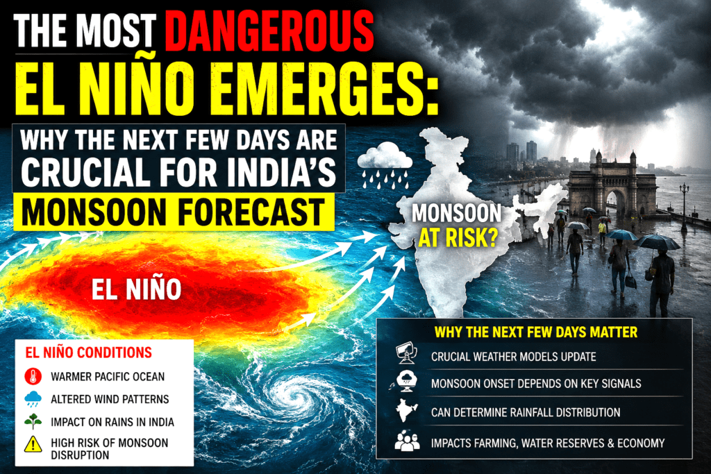
The Most Dangerous El Niño Emerges: Why the Next Few Days Are Crucial for India’s Monsoon Forecast
July 23, 2026
As India grapples with an already erratic southwest monsoon in 2026, scientists and meteorologists are sounding the alarm about the intensification of what many are calling the “most dangerous form” of El Niño. This powerful climate phenomenon, characterised by anomalous warming in the equatorial Pacific, is poised to exert its strongest influence yet on the Indian summer monsoon, potentially leading to widespread rainfall deficits, agricultural distress, and broader economic repercussions. With July rainfall forecasts already pointing toward below-normal levels, the coming days—marked by critical weather systems and shifting atmospheric patterns—could determine whether the season salvages itself or slides into one of the drier monsoons in recent memory.
Understanding El Niño: From “Little Boy” to Global Disruptor
El Niño, Spanish for “The Little Boy,” refers to the periodic warming of sea surface temperatures (SSTs) in the central and eastern tropical Pacific Ocean. It is part of the larger El Niño-Southern Oscillation (ENSO) cycle, which alternates with its cooler counterpart, La Niña. Under normal conditions, trade winds blow from east to west across the Pacific, pushing warm water toward Indonesia and Australia while allowing cold, nutrient-rich water to upwell off the coasts of Peru and Ecuador.
During El Niño, these trade winds weaken or reverse, causing warm water to slosh eastward. This disrupts the Walker Circulation—a key atmospheric pattern that influences global weather—leading to suppressed convection over the western Pacific and enhanced activity over the central and eastern Pacific. The result? Altered rainfall patterns worldwide: floods in South America, droughts in Southeast Asia and Australia, and often weakened monsoons in India.
Not all El Niños are created equal. Researchers distinguish between the canonical (or Eastern Pacific/Cold Tongue) El Niño and variants like El Niño Modoki (Central Pacific or Warm Pool El Niño). The canonical form features pronounced warming in the eastern Pacific, often linked to stronger disruptions. Modoki events, with warming concentrated in the central Pacific flanked by cooler waters east and west, produce a distinct “two-cell” Walker Circulation and can have differing teleconnections.
The “most dangerous” designation in current discourse likely points to a rapidly strengthening, potentially “super” or very strong canonical-leaning El Niño. As of mid-July 2026, Niño 3.4 index values have climbed to around +2.1°C, with forecasts indicating a high probability (up to 81% in some models) of a very strong event peaking later in the year. This intensity amplifies risks, as stronger events more reliably tilt probabilities toward expected impacts like reduced Indian monsoon rainfall.
Historical Precedents: Lessons from Past “Dangerous” El Niños
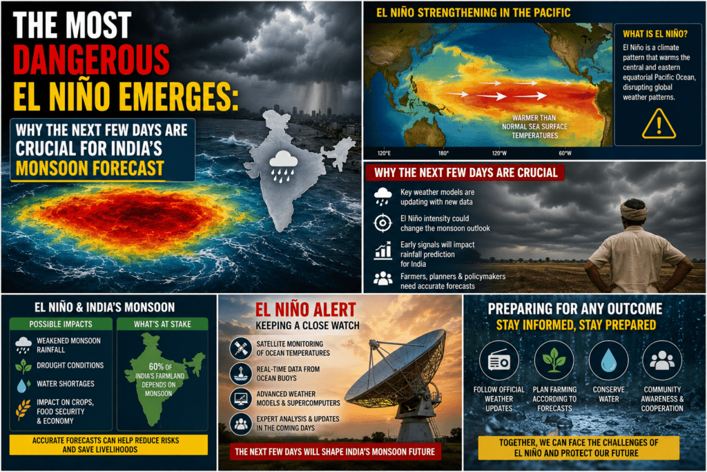
India’s vulnerability to El Niño is well-documented. The phenomenon has been linked to some of the country’s most severe droughts. The 1877-78 event, sometimes cited in discussions of extreme El Niños, contributed to devastating famines across India, China, and beyond, killing millions due to monsoon failure. More recently, the 1997-98 “Godzilla” El Niño and the 2015-16 strong event brought significant rainfall deficits, with 2002, 2009, and 2015 standing out as drought years.
In canonical El Niño years, the monsoon often sees delayed onset, weakened cross-equatorial flow, and a southward shift of the monsoon trough, leading to deficits particularly in central and northwest India. Modoki events can sometimes be less detrimental or even associated with mixed signals, but overall, El Niño years correlate with about a 70-80% chance of below-normal rainfall. Extreme rainfall events may paradoxically increase even as total precipitation declines, heightening flood risks amid overall dryness.
The 2026 event builds on these patterns but occurs against a backdrop of climate change, which may intensify extremes. Warmer baseline ocean temperatures could make this El Niño more potent, exacerbating heatwaves, erratic rains, and long-term drying trends in parts of the subcontinent.
The 2026 Monsoon So Far: A Weak Start and Looming Threats
The southwest monsoon, which typically arrives in Kerala around June 1 and covers the country by mid-July, has been underwhelming in 2026. June recorded its fifth-driest period since 1901, with rainfall about 28-43% below normal in many regions. Central India, key rainfed agricultural zones, and parts of the northwest have borne the brunt.
As of late July, the India Meteorological Department (IMD) forecasts July rainfall at below 94% of the long-period average (LPA), with July contributing roughly 32% of the seasonal total. The overall seasonal forecast hovers around 90-94% of LPA, signalling a below-normal year—the first in several. El Niño’s strengthening is a primary culprit, alongside neutral Indian Ocean Dipole (IOD) conditions that fail to provide the counterbalancing boost often seen in positive IOD years.
Low-pressure systems and the monsoon trough’s position have shown some activity, bringing heavy rains to Mumbai, parts of Maharashtra, and northern regions in mid-July, boosting reservoir levels in places like Mumbai’s lakes to 54%. However, these are localised and insufficient to offset broader deficits.
Why the Next Few Days Are Crucial
Mid-to-late July represents a pivotal window for the monsoon. July rainfall is essential for kharif crop sowing—rice, maize, cotton, soybeans—on which millions of farmers depend. A further delay or weakening could push sowing into August, risking yield losses as crops face moisture stress during critical growth phases.
IMD extended range forecasts highlight potential active spells driven by low-pressure areas over the Bay of Bengal and the position of the monsoon trough. For the week of July 23-29, models suggest the trough remaining near normal positions in some areas, with heavy to very heavy rainfall possible in Jammu & Kashmir, Himachal Pradesh, Uttarakhand, and parts of central and eastern India. However, overall activity is expected to be subdued in many regions due to El Niño’s suppressive effect on convection.
Key factors in the coming days:
- Formation and movement of low-pressure systems: A well-marked low over the northwest Bay of Bengal could bring relief to eastern and central states if it intensifies and tracks favourably.
- Somali Jet and cross-equatorial flow: Stronger winds from the southern Indian Ocean are needed to sustain moisture transport.
- Subsurface ocean signals: The ongoing Kelvin wave and thermocline deepening in the Pacific are locking in El Niño’s influence, potentially weakening the monsoon trough further.
- Madden-Julian Oscillation (MJO): Its phase could modulate intra-seasonal variability, offering short bursts of activity.
If these systems fail to deliver widespread rains by the end of July, deficits could deepen irreversibly, affecting reservoir recharge, groundwater, and power generation (hydel projects). Farmers in rainfed areas, already delayed from a weak June, face heightened anxiety.
Sectoral Impacts: Agriculture, Economy, and Society
Agriculture: India’s kharif season supports nearly half the population’s livelihoods. Below-normal rains threaten output of major crops, potentially inflating food prices—especially pulses, oilseeds, and cereals. Contingency plans include drought-resistant varieties, adjusted sowing schedules, and expanded irrigation, but challenges persist in unirrigated regions.
Economy: Monsoon performance influences GDP growth, rural consumption, and inflation. A weak season could slow agricultural growth (typically a 3-4% contribution) and strain fiscal resources for relief. Commodity markets are already volatile.
Water Resources and Disasters: While some areas face floods from intense spells, others risk drought. Heatwaves compound issues, with above-normal temperatures expected. Public health risks include waterborne diseases from contaminated supplies and vector-borne illnesses.
Broader Global Context: This El Niño aligns with record global temperatures, amplifying wildfires, coral bleaching, and extreme weather elsewhere. For India, it underscores the need for better climate adaptation.
Scientific Perspectives and Uncertainties
Experts note that while El Niño raises drought odds, it’s not deterministic. Positive IOD development (currently neutral) or strong MJO could mitigate effects. Climate models like IMD’s MMCFS and global ensembles show high confidence in El Niño persistence through 2026-27, but rainfall predictions carry inherent uncertainty due to chaotic atmospheric dynamics.
Research on El Niño “flavours” highlights nuanced impacts: Canonical events more strongly suppress early monsoon rainfall via Indian Ocean SST patterns, while Modoki may differ. Ongoing studies emphasise the role of warming trends in altering teleconnections.
Looking Ahead: Preparedness and Long-Term Resilience
The IMD will update August-September outlooks by late July. In the meantime, governments are activating contingency plans: water conservation, crop insurance, and advisories for farmers.
For citizens, the message is vigilance—conserving water, preparing for extremes, and supporting sustainable practices. Long-term, India must invest in resilient agriculture, expanded irrigation, early warning systems, and renewable energy to reduce monsoon dependence.
This “dangerous” El Niño serves as a stark reminder of our interconnected climate system. As the next few days unfold, every millimetre of rain counts. The monsoon’s performance will not only shape the immediate harvest but test India’s preparedness for an era of heightened climate variability.
(This report synthesises current meteorological data, historical context, and expert analyses as of July 23, 2026. Conditions may evolve rapidly; consult IMD for the latest updates.)