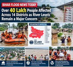


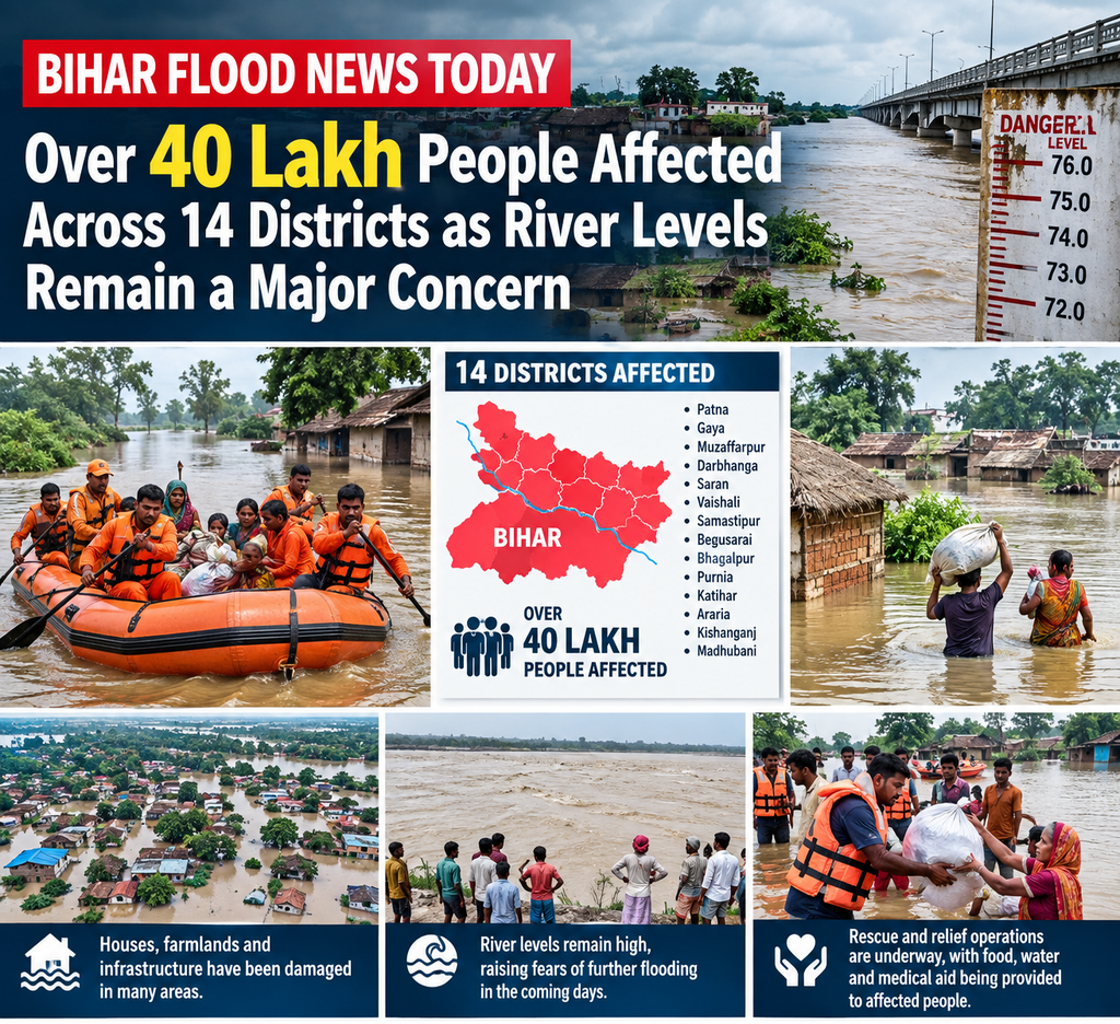
Patna, September 9/10, 2026 – Bihar continues to grapple with one of its most severe flood crises in recent years, with official figures confirming that more than 40 lakh people have been affected across 14 districts. According to the latest bulletin from the state’s Disaster Management Department (DMD), nearly 40.21 lakh to as high as 41.45 lakh residents in 514–517 gram panchayats spanning 84 blocks are facing the direct impact of swollen rivers, inundated villages, and disrupted lives. The situation remains tense even as water levels in some stretches of major rivers have shown signs of stabilisation or mild recession, with authorities warning that elevated river stages continue to pose a significant threat downstream.
The floods, triggered by persistent heavy rainfall over the past several days both within Bihar and in the catchment areas of neighbouring Nepal, have submerged large tracts of agricultural land, residential areas, and critical infrastructure. Districts hit hardest include Patna, Bhojpur, Saran, Vaishali, Bhagalpur, Begusarai, Buxar, Samastipur, Munger, Katihar, Lakhisarai, Khagaria, Purnia and Arwal. In these areas, everyday life has been upended: homes stand partially or fully underwater, roads and highways are breached or submerged, schools and health centres are inaccessible, and thousands of families have been forced to seek higher ground or temporary shelters.
Meteorological data underscores the intensity of the monsoon activity. The Bihar Meteorological Service Centre reported that the state has received approximately 79.6 mm to 83.6 mm of rainfall in September so far—24 to 31 per cent above the long-period average. This excess precipitation, combined with heavy upstream inflows from Nepal, has pushed several major rivers well beyond their danger levels at multiple gauging stations. Officials have repeatedly emphasised that while the immediate rainfall intensity may have moderated in parts of the state, the volume of water already in the river systems means the threat will persist for days.
River Levels: Ganga Breaks Record at Sultanganj, Multiple Rivers Above Danger Mark
The most dramatic development has been on the Ganga. At Sultanganj in Bhagalpur district, the river recorded levels of around 36.78 metres to 36.80–36.81 metres in recent readings, surpassing its previous Highest Flood Level (HFL) of 36.75 metres set on August 17, 2021. The trend at this critical station has been described as stable or showing early signs of a slight decline, yet the river continues to carry a massive discharge downstream. In Bhagalpur town itself and further east at Kahalgaon, water remains well above the danger mark—reports indicate 92 cm above danger at Bhagalpur and as much as 1.72 metres above at Kahalgaon in some updates. The four-lane National Highway-80 at Makanpur and adjoining stretches between Sultanganj and Nathnagar have been inundated, severely disrupting connectivity. In Bhagalpur, staff at Tilka Manjhi Bhagalpur University have resorted to boats to reach administrative blocks, illustrating the depth of inundation in urban pockets.
Beyond the Ganga, a long list of rivers remains in spate. The Gandak is flowing above the danger level at Dumariya Ghat; the Kosi at Baltara and Kursela; the Burhi Gandak at Khagaria; the Punpun at Sripalpur (reported as high as nearly 2.9–2.95 metres above danger); the Bagmati at Benibad; and the Ghaghra at Darauli and Gangpur Siswan. The Ganga itself continues to exceed the danger mark at several points including Digha, Gandhi Ghat, Hathidah, Munger, Bhagalpur and Kahalgaon. In Patna, while levels at Digha Ghat, Gandhi Ghat and Hathidah have shown some recession over the past 24 hours (a decline of about 21 cm noted at Digha in one report), the river was still recorded 79 cm above danger at Digha, 1.47 metres above at Gandhi Ghat, and over a metre above at other local stations such as Banka Ghat.
Discharge data from major barrages offers a mixed picture. At the Gandak Barrage, discharge stood around 86,000 cusecs with a stable trend (far below the year’s peak of 2,24,000 cusecs recorded in July). The Kosi Barrage was releasing approximately 1.46–1.48 lakh cusecs, also relatively stable compared with its July high. The Indrapuri Barrage on the Sone showed declining discharge, falling toward 81,000 cusecs in recent figures. These numbers suggest that while the peak surge may have passed in some upstream segments, the cumulative water volume moving through the system keeps downstream areas under pressure.
Human Impact: Millions Displaced, Livelihoods Under Water
The scale of human suffering is immense. With 40-plus lakh people affected, the crisis touches nearly every aspect of rural and semi-urban life in the 14 districts. Entire villages in low-lying panchayats have been cut off. Agricultural fields that should be preparing for the next cropping cycle lie under sheets of water, threatening standing crops and the livelihoods of farming families who form the backbone of Bihar’s rural economy. Livestock have been stranded or lost in many places, prompting the distribution of thousands of quintals of animal fodder.
Evacuation and movement of people and essentials rely heavily on boats. Authorities report that between 1,872 and 1,979 boats are currently pressed into service for rescue, relief distribution and daily commuting in submerged areas. Community kitchens have been a critical lifeline: earlier figures spoke of hundreds of such kitchens serving meals twice a day to large numbers of people, with cumulative beneficiaries crossing the lakh mark in successive updates. Dry ration packets—around 29,400 in one official count—and approximately 1.94 lakh polythene sheets have been distributed to help families protect belongings and create makeshift shelters. Relief camps, though fewer in number relative to the affected population (earlier reports mentioned around 14 camps housing over 12,000 people), continue to provide accommodation, food and basic medical care.
In several districts, the situation on the ground remains particularly acute. Bhagalpur continues to face severe inundation along the Ganga corridor. In Katihar, the combined effect of the Ganga, Kosi and other rivers has submerged dozens of panchayats. Khagaria, a chronically flood-prone district, sees the Burhi Gandak and other streams keeping large areas under water. In the Patna region, while some central stretches show improvement, peripheral and southern blocks along the Punpun and other tributaries remain vulnerable. Saran, Vaishali and Bhojpur have reported widespread waterlogging and embankment pressure, with at least one report of a zamindari embankment breach on a local river exacerbating local flooding.
Casualties have been reported in earlier phases of the current flood wave, with compensation of Rs 4 lakh announced for the families of those who lost their lives. Exact cumulative figures continue to be updated by district administrations as rescue teams complete verification. Beyond the tragic loss of life, the broader human cost includes the disruption of education, healthcare access, and daily wage work. Migrant workers who return seasonally or daily-wage labourers dependent on construction and agricultural activity find themselves without income at a critical time.
Government and Agency Response
The Bihar government, through the Disaster Management Department and Water Resources Department, has mobilised significant resources. Twenty-seven State Disaster Response Force (SDRF) teams and ten National Disaster Response Force (NDRF) teams are deployed across the affected districts, conducting rescue operations, distributing relief and assisting in medical emergencies. Senior officials, including Chief Minister Samrat Choudhary, have visited flood-hit areas and community kitchens in districts such as Vaishali and Saran in recent days, reviewing arrangements and directing local administrations to intensify efforts. Former Chief Minister Nitish Kumar has also inspected affected villages in the Patna region and stressed the need for continuous monitoring of embankments and relief logistics.
Engineers and maintenance crews are working on embankment strengthening and breach repairs where reported. The Water Resources Department continues to issue regular bulletins on river stages and barrage discharges, advising residents in vulnerable zones to remain alert and avoid approaching riverbanks. Coordination with central agencies and neighbouring states remains ongoing, given the trans-boundary nature of several rivers originating in Nepal.
Relief distribution logistics have been scaled up. Beyond polythene sheets, dry rations and cooked meals, efforts include ensuring drinking water, sanitation facilities in camps, and veterinary support for livestock. Animal fodder distribution has reached several thousand quintals. Authorities have also emphasised the importance of disease surveillance, as stagnant floodwater raises the risk of water-borne illnesses in the coming weeks.
Broader Context and Challenges
Bihar’s geography makes it one of India’s most flood-vulnerable states. The dense network of Himalayan rivers—Ganga, Kosi, Gandak, Bagmati, Burhi Gandak and others—carries enormous silt loads and responds rapidly to rainfall in the Nepalese hills and the Bihar plains. Embankments, while protective in many stretches, have historically faced pressure during extreme events, and breaches or overtopping remain a recurring risk. Climate variability and changing rainfall patterns have intensified the frequency and intensity of such events in recent decades.
This year’s September excess rainfall comes on the heels of earlier monsoon activity, leaving soils saturated and river channels already carrying higher base flows. The result is a rapid rise once heavy spells arrive. Downstream districts often experience the peak impact days after upstream peaks, complicating forecasting and response timing.
Challenges on the ground are manifold. Access remains difficult in the most heavily inundated panchayats, slowing the reach of relief. Coordination among multiple agencies—district administrations, SDRF, NDRF, water resources engineers, health and animal husbandry departments—requires constant fine-tuning. Long-term recovery will demand attention to damaged houses, lost crops, and restored connectivity once waters recede. Agricultural support packages, housing assistance and livelihood restoration will become critical in the weeks ahead.
Looking Ahead
As of the latest available assessments, the overall trend in several major rivers is one of stabilisation or gradual recession in upper and mid-stretches, offering cautious hope. Yet officials stress that elevated levels at multiple stations, particularly along the Ganga in the Bhagalpur–Kahalgaon belt and on tributaries still above danger marks, mean the crisis is far from over. Residents in low-lying areas continue to be advised to stay vigilant, keep essential documents and medicines ready, and follow instructions from local authorities regarding evacuation if required.
The coming days will be crucial. Further rainfall in the catchments could reverse the modest declines observed in places. Continuous monitoring of embankments, sustained relief operations, and rapid response to any new breaches or health outbreaks will determine how quickly normalcy can return for the more than four million people currently living under the shadow of floodwaters.
Bihar’s latest flood episode once again highlights both the resilience of its people and the persistent challenges of managing a riverine landscape shaped by the might of the Himalayas and the monsoon. As rescue boats ply the flooded lanes and community kitchens keep serving meals, the focus remains firmly on saving lives, protecting livelihoods, and preparing for the long process of recovery that will follow once the rivers finally return to their banks.