

Sriharikota / Bengaluru, October 23, 2026
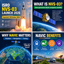
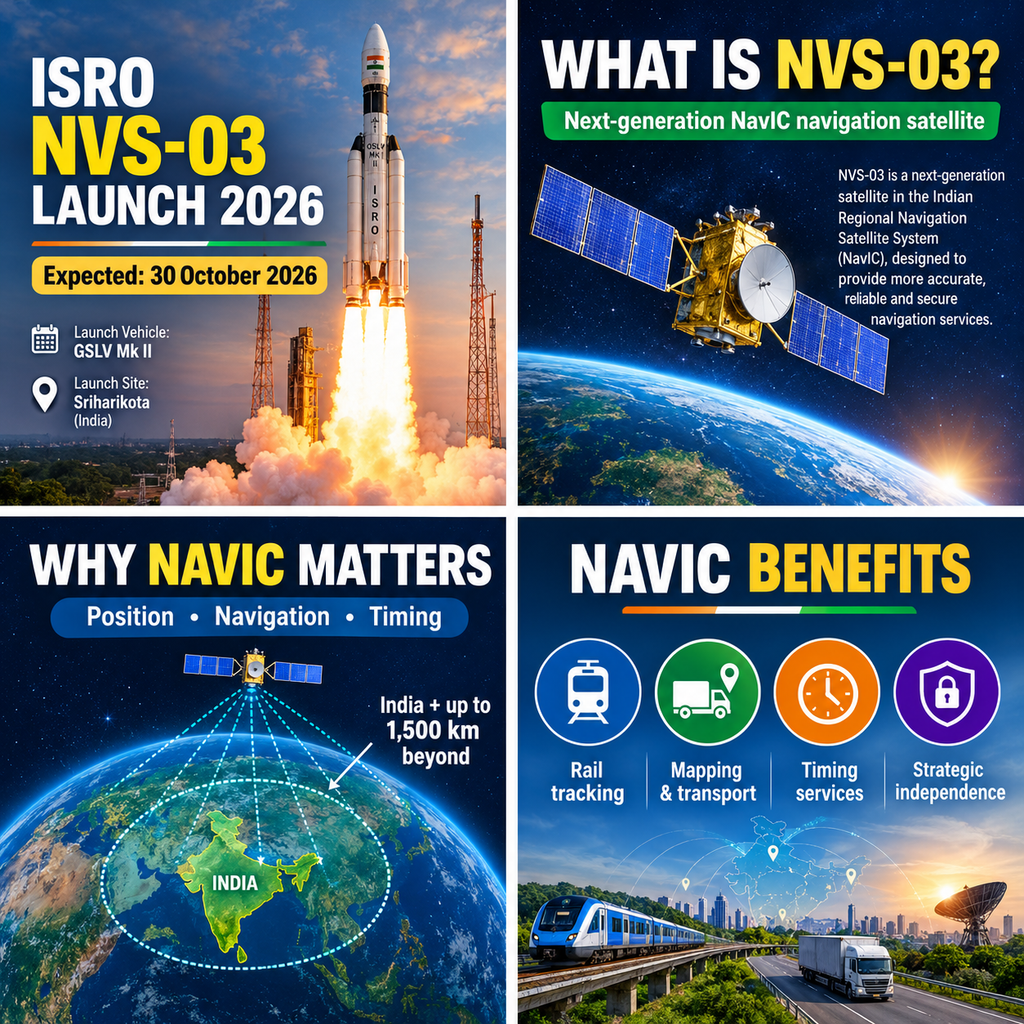
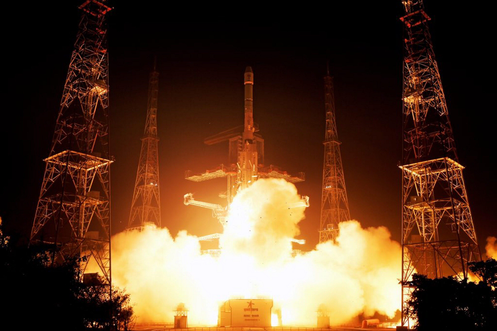
The Indian Space Research Organisation is preparing for one of its most strategically significant missions of the year. The NVS-03 navigation satellite is scheduled for launch on October 30, 2026, aboard a Geosynchronous Satellite Launch Vehicle Mark II (GSLV Mk II) from the Satish Dhawan Space Centre at Sriharikota. The mission, designated GSLV-F18, aims to restore standalone positioning capability to India’s regional navigation system, NavIC (Navigation with Indian Constellation), which has been operating below the minimum threshold required for independent three-dimensional positioning.
NVS-03 is the third satellite in the second-generation NVS series and the twelfth overall in the Indian Regional Navigation Satellite System family (also referred to as IRNSS-1L). Weighing 2,232 kilograms at launch and built on the I-2K bus by the U.R. Rao Satellite Centre with payloads from the Space Applications Centre, it carries a planned operational life of 12 years. Once placed in geosynchronous orbit at approximately 32.5° East, it will join the three currently functional positioning satellites—IRNSS-1B, IRNSS-1I and NVS-01—to meet the minimum requirement of four active satellites needed for standalone positioning, navigation and timing (PNT) services.
Expected Launch Date and Recent Timeline
The launch date has shifted several times. Earlier targets pointed to late 2025, then a mid-October 2026 window of 15–20 October. Launch campaign activities began around 14 September 2026, with first-stage stacking of the GSLV completed shortly thereafter. The satellite itself had been moved to Sriharikota months earlier and was reported ready. Following the successful GSLV-F17 / EOS-05 mission on 4 September 2026, ISRO Chairman Dr V. Narayanan confirmed clearance for an attempt on 30 October. The revised schedule reflects a deliberate, cautious approach after successive PSLV anomalies in 2025 and early 2026, as well as the lessons from the NVS-02 propulsion shortfall.
The GSLV Mk II is a three-stage vehicle employing solid, liquid and cryogenic propulsion. It will inject NVS-03 into a geosynchronous transfer orbit; the satellite will then use its own bipropellant propulsion system to reach the final geosynchronous slot. Engineers have incorporated corrective measures validated on the CMS-03 mission regarding pyro-valve command paths, addressing the failure mode that left NVS-02 short of its intended orbit in January 2025.
As of late October 2026, preparations remain on track for the 30 October attempt, weather and final readiness reviews permitting. Official confirmation of the precise liftoff window is expected closer to the date.
Mission Purpose: Restoring and Modernising NavIC

NavIC was conceived to give India independent regional satellite navigation capability covering the Indian landmass and an area extending roughly 1,500 kilometres beyond its borders. The original design called for a constellation of seven satellites—three in geostationary orbit and four in inclined geosynchronous orbits—providing both a Standard Positioning Service (SPS) open to civilian users and an encrypted Restricted Service (RS) for authorised users, primarily the armed forces and strategic agencies.
Over time the first-generation satellites experienced progressive degradation, largely due to failures of imported atomic clocks. By mid-2026 only three satellites remained capable of providing full positioning, navigation and timing services. Timing and one-way messaging functions continued, but the constellation fell short of the four-satellite minimum required for reliable standalone three-dimensional positioning (which also corrects receiver clock error). Users have therefore relied on multi-constellation solutions combining NavIC signals with GPS, Galileo or other systems.
NVS-03’s primary purpose is to restore that quorum. A successful insertion and commissioning will return NavIC to standalone positioning capability. Beyond simple replenishment, the satellite introduces second-generation enhancements:
- An indigenous Rubidium Atomic Frequency Standard developed by the Space Applications Centre in Ahmedabad, reducing dependence on foreign clocks that plagued earlier spacecraft.
- Navigation signals in the L1, L5 and S bands, plus a C-band ranging payload. The addition of the L1 civilian band is particularly significant: it matches the primary frequency used by most consumer GNSS receivers worldwide, enabling easier integration into smartphones, wearables, fitness trackers and other low-power devices without specialised hardware.
- Longer design life (approximately 12 years) and improved robustness compared with the first-generation satellites.
In short, NVS-03 is both a restoration mission and a modernisation step. It strengthens continuity of service while expanding NavIC’s accessibility and interoperability.
Technical Characteristics and Operational Context
The satellite’s navigation payload broadcasts precise timing and orbital data that receivers use for trilateration. With four or more satellites in view, a receiver can solve for latitude, longitude, altitude and its own clock bias. Three satellites can provide a limited solution if altitude is assumed, but accuracy and reliability suffer, especially in mountainous or high-latitude regions near the edge of the coverage zone.
NVS-03 is expected to occupy an inclined geosynchronous slot that complements the existing operational satellites. Once on station and after a period of testing and calibration, it will begin contributing to the operational constellation. Subsequent satellites—NVS-04 and NVS-05—are already in advanced stages of realisation, with further spacecraft planned to rebuild toward a full seven-satellite (or larger) base layer and to provide redundancy.
The mission also carries strategic weight. India’s experience during the 1999 Kargil conflict, when access to foreign GPS data was constrained, remains a foundational lesson. An indigenous, regionally optimised system that cannot be selectively denied or degraded by external operators is viewed as essential for national security and technological sovereignty.
Benefits of a Fully Functional NavIC System
Restoration of standalone positioning will deliver tangible benefits across civilian, commercial and defence domains.
Defence and strategic applications. The encrypted Restricted Service provides secure, high-accuracy PNT for missile guidance, precision-guided munitions, naval fleet coordination, troop movement, and aircraft navigation. Dependence on foreign systems creates vulnerability during crises; a fully operational NavIC removes that single point of failure for authorised users. Security analysts note that even while multi-constellation receivers remain available, the existence of a trusted indigenous fallback enhances operational confidence and planning flexibility.
Transportation and logistics. Indian Railways has equipped thousands of trains (approximately 8,700 reported, with a government goal of real-time tracking for around 12,000) with NavIC-compatible systems. Reliable indigenous positioning supports safer operations, better punctuality monitoring and emergency response. Road transport, fleet management and last-mile logistics similarly benefit from improved regional accuracy and availability.
Maritime and fisheries. More than 30,000 fishing vessels carry NavIC-enabled transponders. The system’s messaging capability has proven valuable for delivering cyclone warnings and safety alerts beyond the range of terrestrial mobile networks. Standalone positioning further aids vessel tracking, search-and-rescue coordination and maritime domain awareness.
Critical infrastructure timing. Even while positioning was limited, NavIC’s timing service continued to support power-grid synchronisation, telecommunications base-station handovers and financial-transaction timestamping. Full constellation health improves the robustness of these services and reduces reliance on external sources of precise time.
Civilian and consumer applications. The L1-band signal lowers the barrier for mass-market adoption. Smartphones, wearable devices, agricultural equipment, survey instruments and Internet-of-Things sensors can incorporate NavIC support more easily. Combined with multi-constellation receivers already common in modern chipsets, this increases resilience: if one global system experiences regional degradation, NavIC provides a complementary regional layer optimised for the Indian subcontinent and surrounding waters.
Disaster management and scientific uses. Accurate positioning and messaging support rapid response during floods, earthquakes and cyclones. Scientific applications include atmospheric studies, ionospheric monitoring and geodetic measurements that benefit from a dense regional constellation.
Collectively these applications illustrate why NavIC is treated as critical national infrastructure rather than merely a convenience. The system’s regional focus yields higher elevation angles and better availability in the Indian service area compared with purely global constellations for many users, particularly in challenging terrain.
Broader Context and Path Ahead
The NVS series represents a deliberate evolution. First-generation satellites established the architecture and proved the concept. Second-generation spacecraft address reliability shortfalls, add modern signal structures and extend service life. The addition of L1 is especially forward-looking: it positions NavIC for interoperability with the global GNSS ecosystem while retaining sovereign control over the regional component.
Challenges remain. Launch cadence must be sustained to replace ageing assets and build margin. Ground-segment operations, receiver ecosystem development and international coordination on signal compatibility all require continued investment. Yet the trajectory is clear. With NVS-03, followed by NVS-04, NVS-05 and additional satellites, India is moving to re-establish and then expand a resilient, indigenous navigation capability.
The October 30 launch is therefore more than a single satellite mission. It is the pivotal step that can return NavIC to independent operational status after a period of constrained performance. Success will restore a vital tool for national security, economic efficiency and everyday applications, while underscoring ISRO’s capacity to recover from setbacks and deliver complex space systems under heightened scrutiny.
As final preparations continue at Sriharikota, attention across the scientific, defence and civilian communities remains fixed on the GSLV-F18 countdown. A successful injection of NVS-03 into its operational orbit will mark a significant milestone in India’s long-term effort to secure independent control over the positioning, navigation and timing services that modern society and national security both require.